
Storms in focus · Field to frame
Chasing the
turning sky.
Storm chasing, weather watching, and the photographs that bring the atmosphere a little closer. Follow the road, the radar, and the next frame.
TARGET AREACELL MOTION ↗39.1° N / 96.6° W
ATMOSPHERE / OBSERVED, NOT STAGED
● NATIONAL ALERT FEEDConnecting to National Weather Service alert feed…SYNCING
LIVE / SamsChaseCam on YouTube
Out on the chase
When a live broadcast is available on my channel, it will appear here. When I’m offline, visit YouTube for recent videos and updates.
LIVE VIDEO · Powered by YouTubeVISIT THE CHANNEL ↗
01 / Situational awareness
U.S. live alert map
Active National Weather Service alerts, plotted by affected area. Select a map shape or alert to read official details. Toggle reflectivity and adjust its opacity above the map.
UNITED STATES -+ ACTIVE NWS ALERTS
RADAR NOT LOADEDLOADING
RADAR REFLECTIVITYTORNADO WARNINGSEVERE WARNINGWATCH
02 / Forecast desk · SPC
Daily tornado setup
Choose an outlook day to see SPC tornado probabilities when issued, or the broader severe-weather outlook when no tornado area is shown. Current hodograph analysis stays available every day.
SPC TORNADO PROBABILITY · DAY 1LOADING
Sources: NOAA Storm Prediction Center outlooks and NOAA/NCEP GFS public model data for forecast hodographs. Outlook data refreshes every 15 minutes. Days 1–2 have tornado-specific probabilities; other days show the broader SPC severe outlook. The hodograph shows NOAA GFS forecast winds for the selected day and time; it is model guidance, not an official SPC sounding.
Extended range / NOAA SPC
Day 4-8 severe outlook
Use the day buttons to view the Storm Prediction Center's current probabilistic severe-weather outlook for each of Days 4 through 8.
SPC PROBABILISTIC SEVERE OUTLOOK · DAY 4LOADING
Field archive / locations
Chase map
Explore the towns connected to my documented storm photographs. Select a pin to open the capture or field note.
Pins show approximate town-center locations based on the places named with each photo, not the exact camera positions. Map tiles: CARTO / OpenStreetMap.
OPEN THE CHASE JOURNAL ↓02 / From the field
Recent chases
A growing archive of storm days, changing skies, and the moments worth pulling over for.
Showing 9 journal entries
No journal entries match these filters.
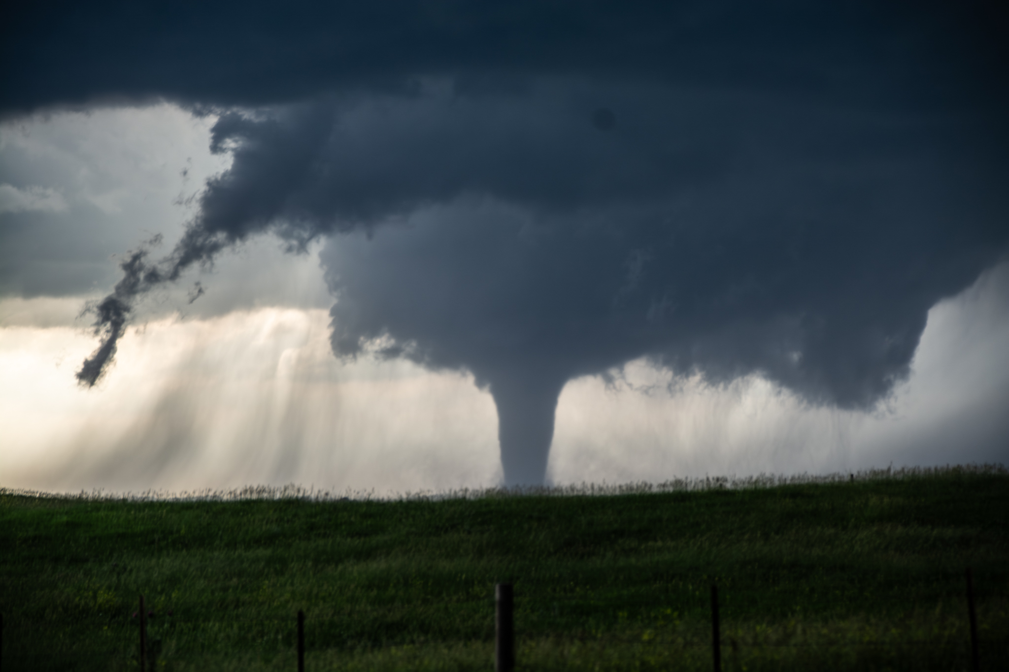
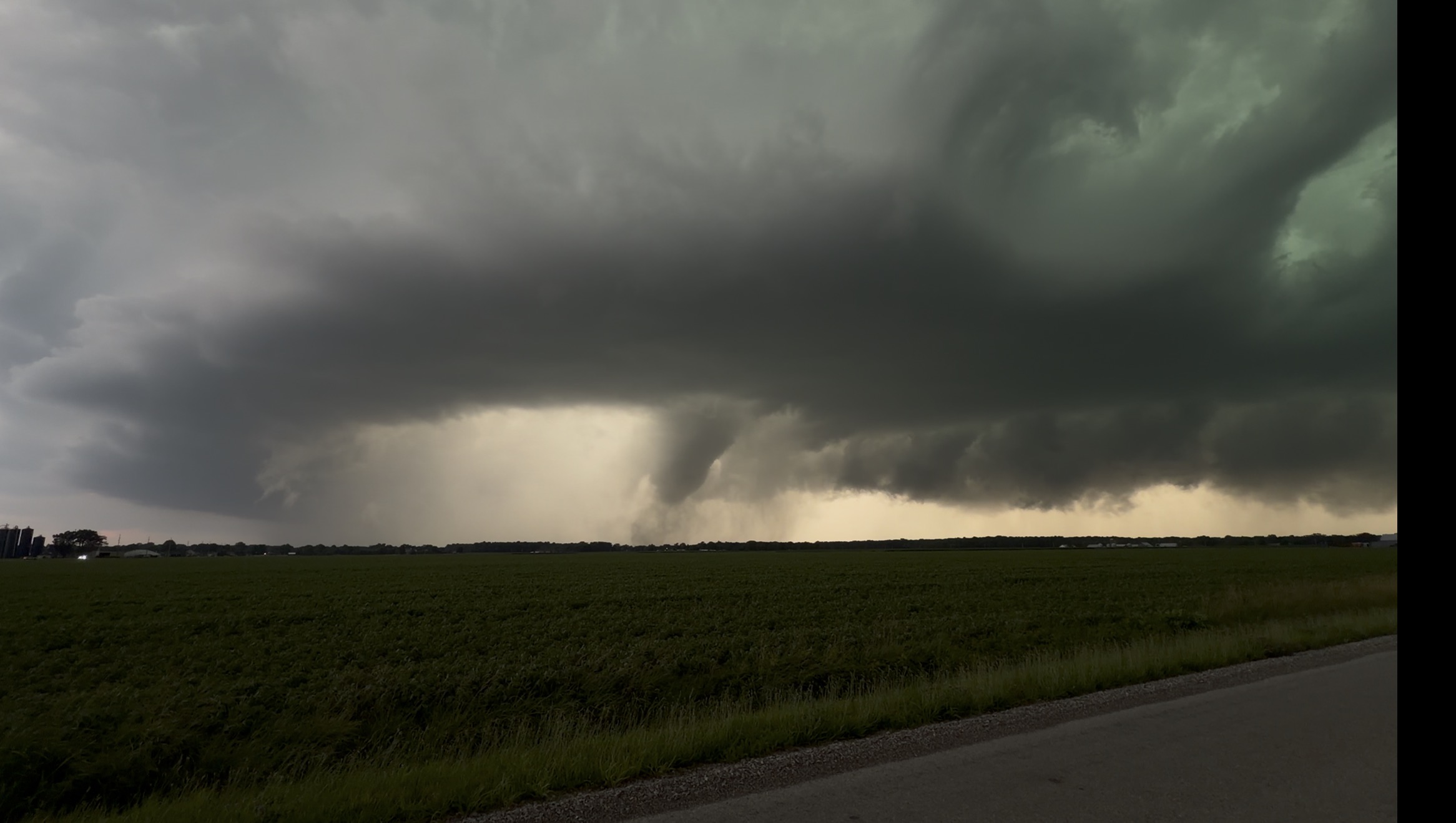
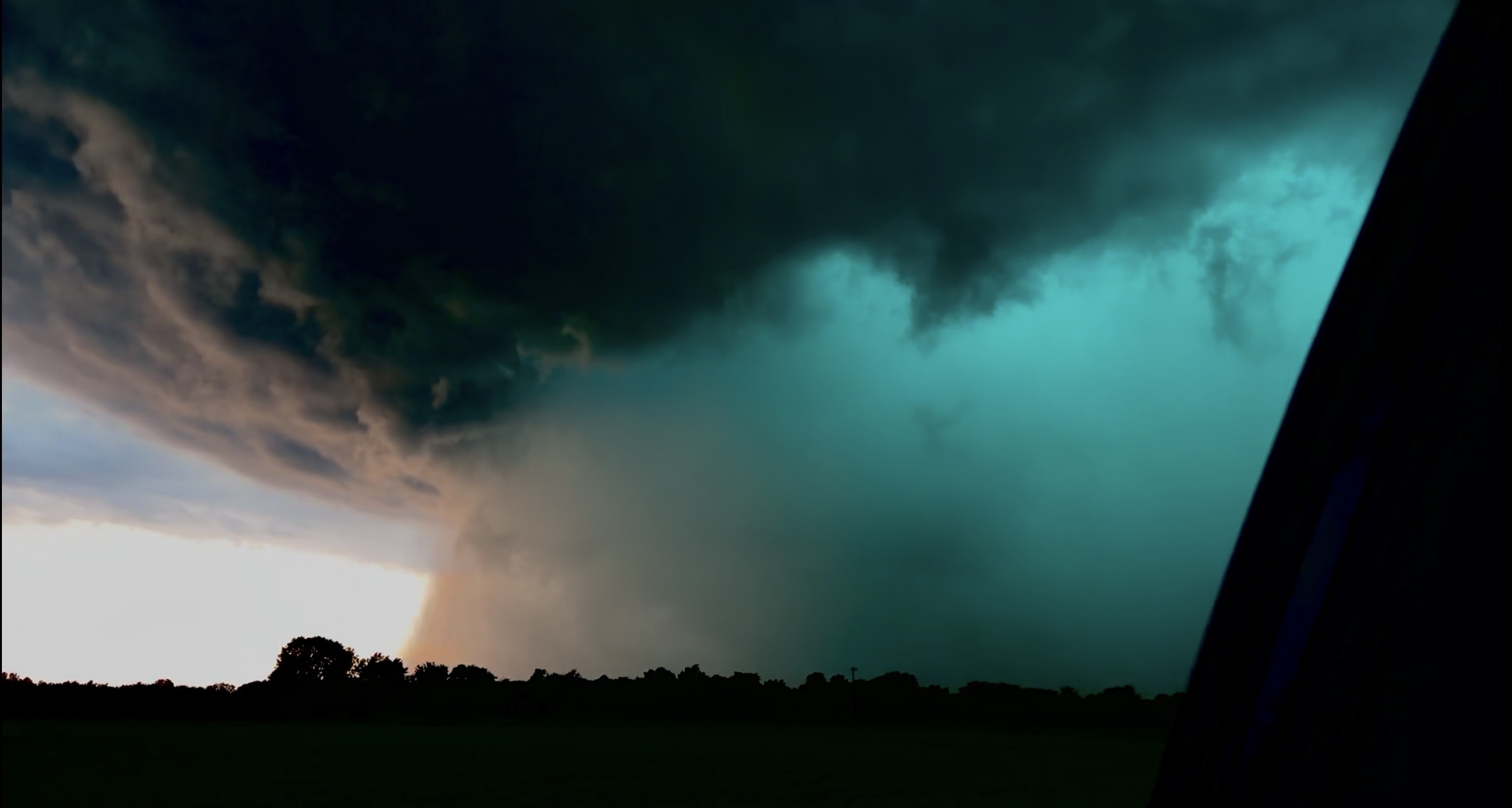
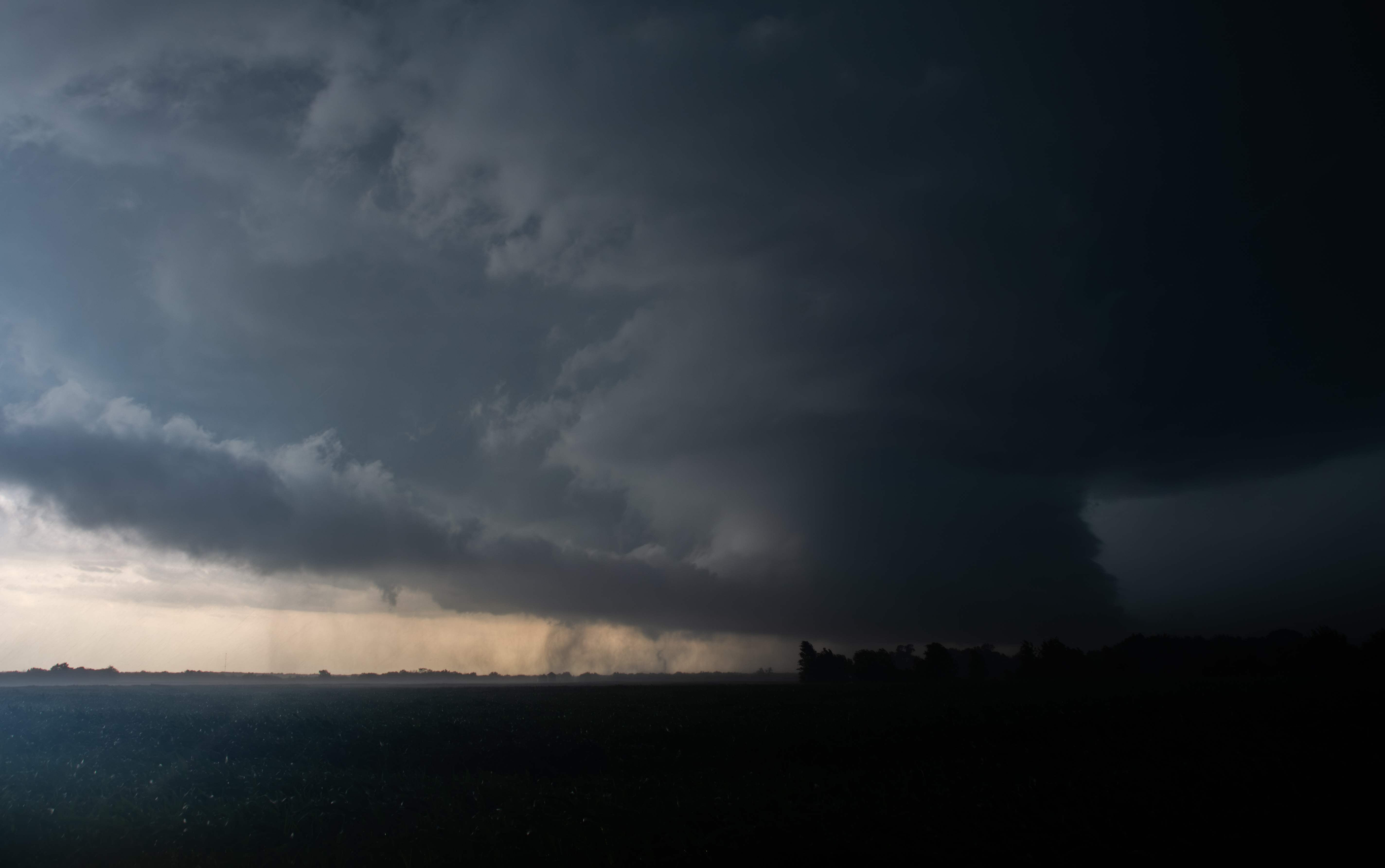
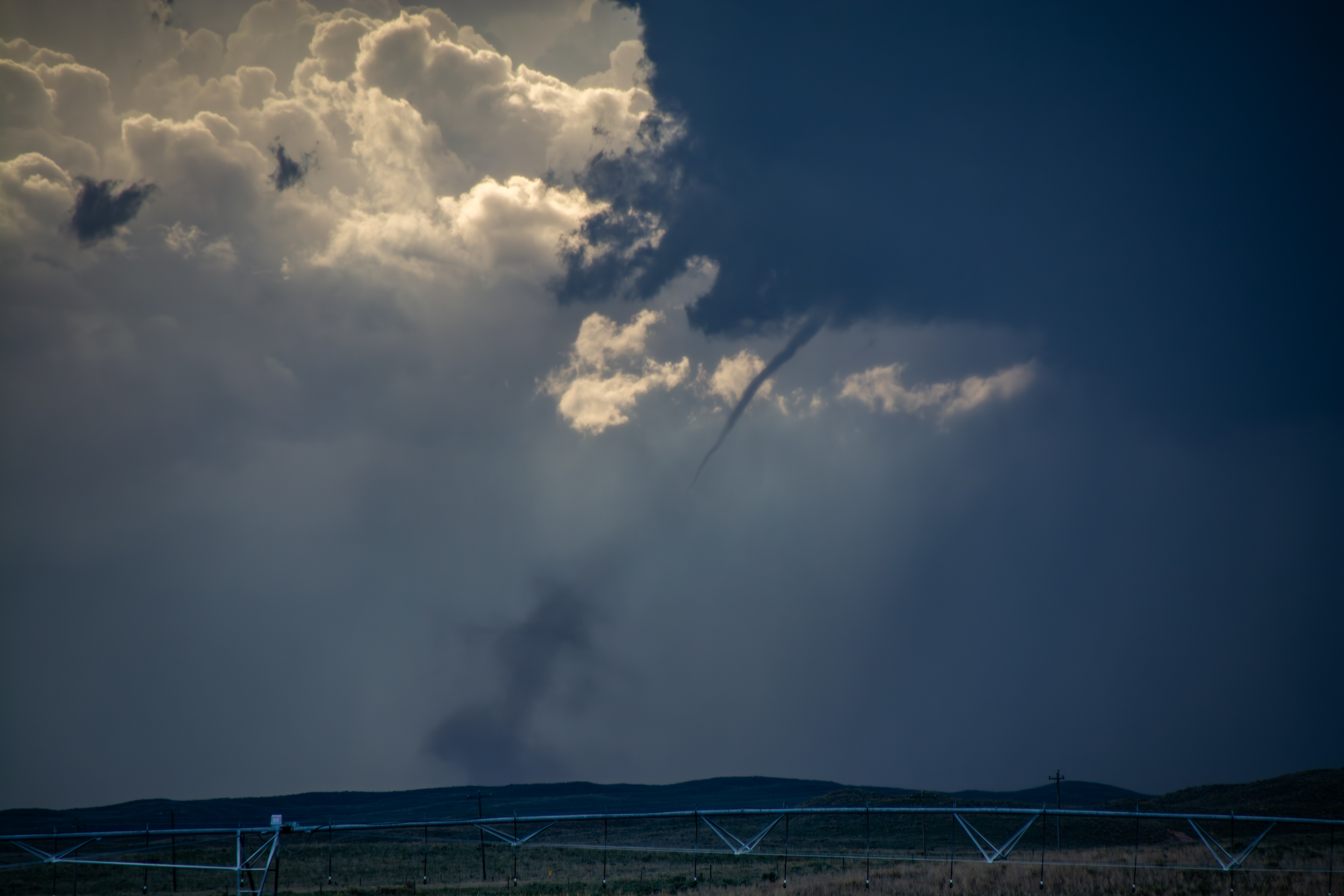
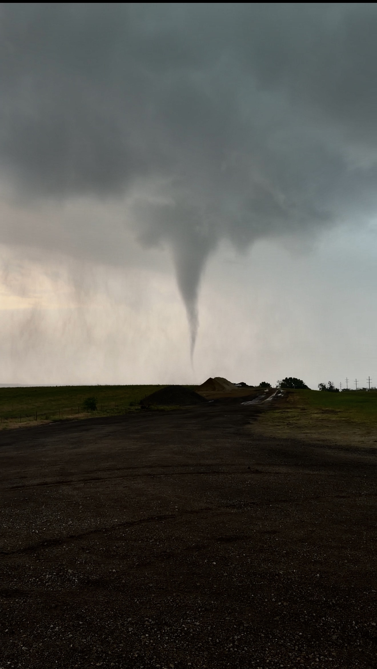
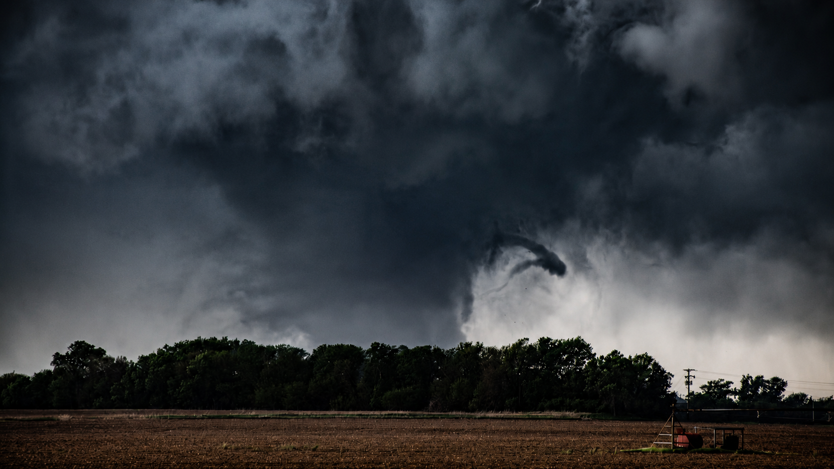
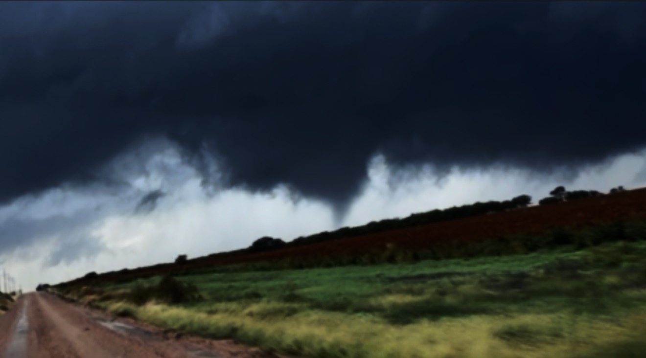
03 / Chase journal
Field reports
Location notes and photo stories from the road, with room for the archive to grow.
Effingham, Illinois
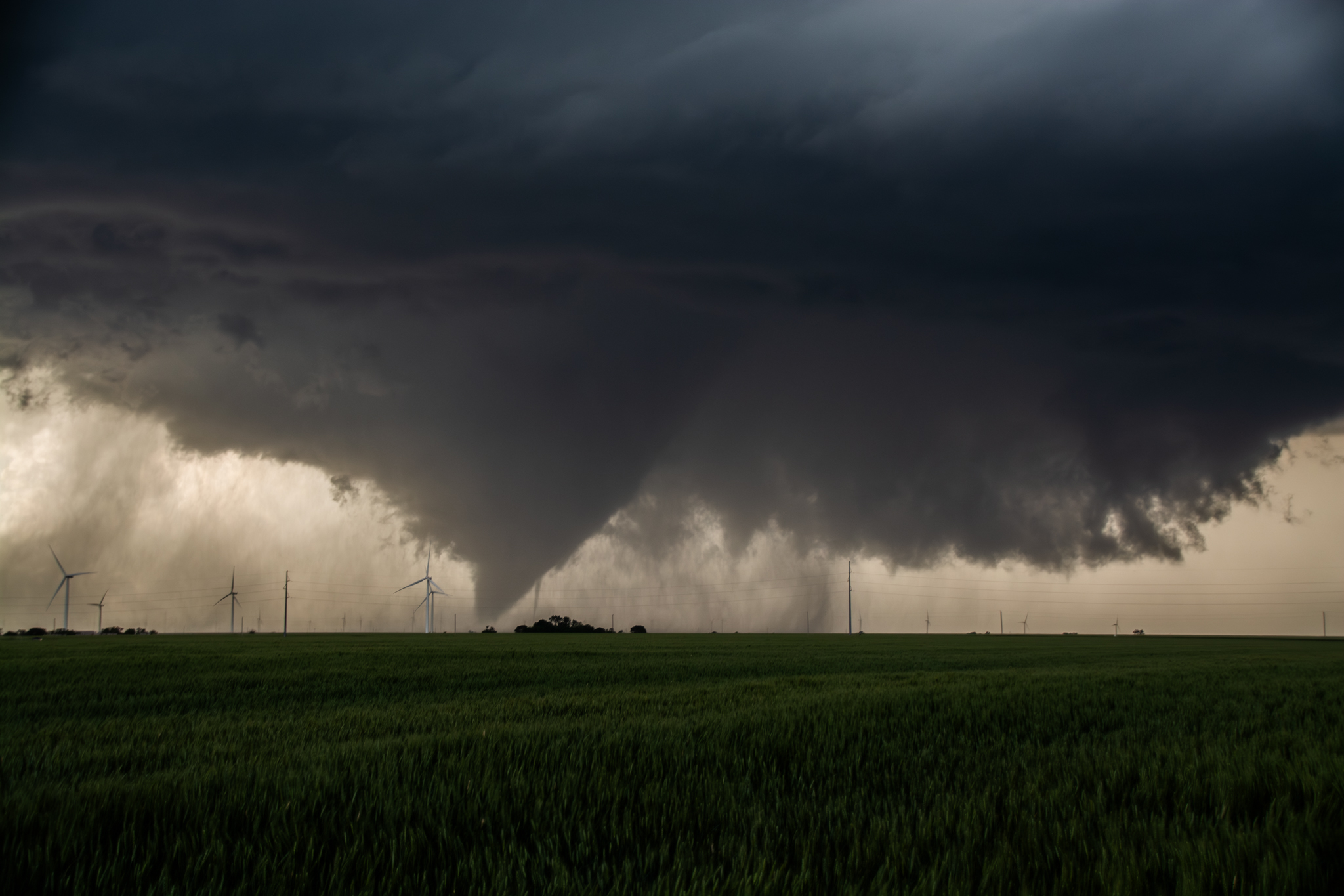
Tornado photograph captured near Effingham on June 17, 2026.
VIEW TORNADO CAPTURE ↗Charleston, Illinois
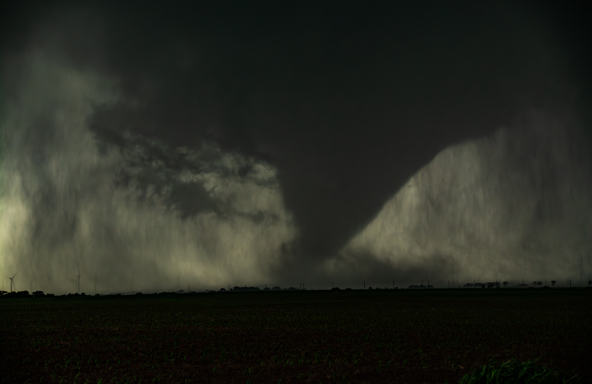
Rain-wrapped wedge tornado photographed near Charleston on June 17, 2026.
VIEW TORNADO CAPTURE ↗Jameson, Missouri
Tornado photograph captured near Jameson on June 10, 2026.
VIEW TORNADO CAPTURE ↗Wray, Colorado
Tornado photograph captured near Wray on May 30, 2026.
VIEW TORNADO CAPTURE ↗Harper, Kansas
Tornado photograph captured near Harper on May 18, 2026.
VIEW TORNADO CAPTURE ↗Hoisington, Kansas
Photographed during the Hurricane Polo-induced tornado outbreak. This field note marks the location and day behind the capture.
VIEW TORNADO CAPTURE ↗Braman, Oklahoma
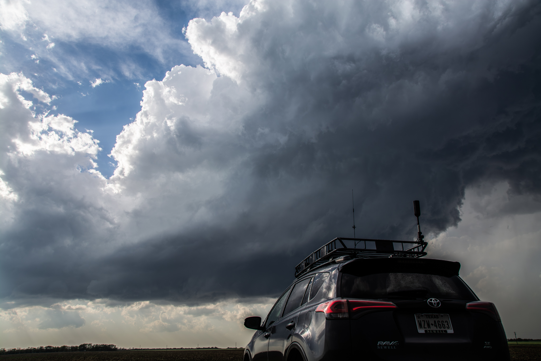
A shelf cloud over the plains and one of my favorite storm structures. The photo journal keeps this moment alongside the tornado archive.
VIEW PHOTO JOURNAL ↗Looking toward spring
A storm-season marker for the next horizon: new skies, new miles, and more photographs to add as the season unfolds.
BACK TO CHASE LOG ↑Morton, Texas
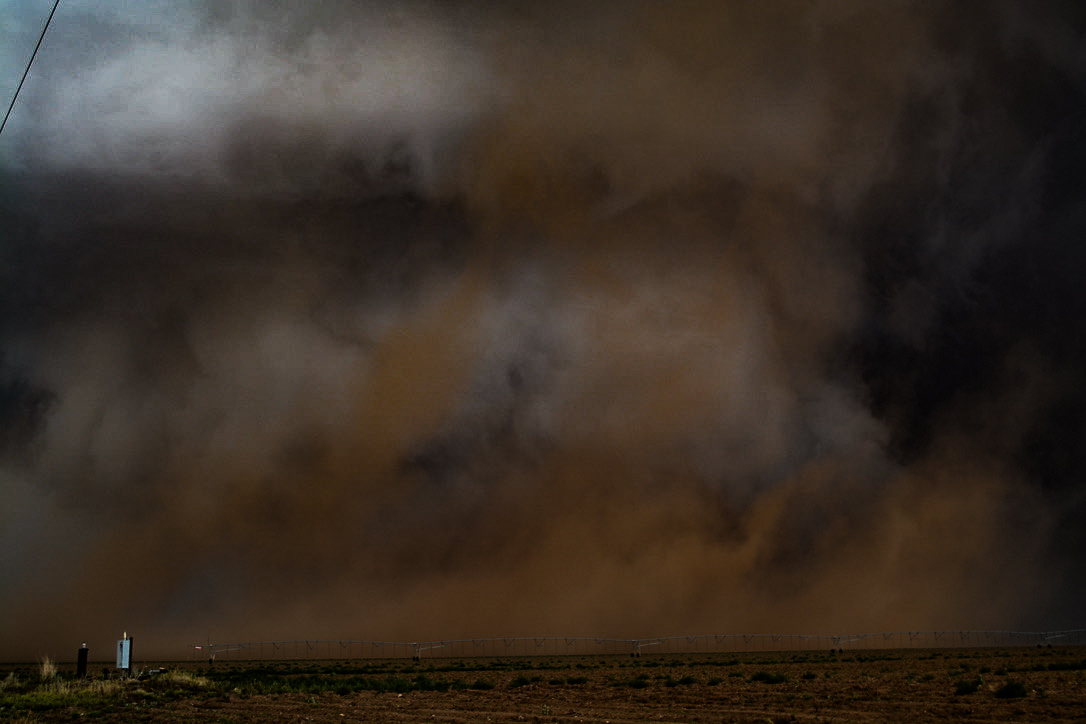
Tornado photograph captured near Morton on June 5, 2025.
BACK TO PHOTO JOURNAL ↑03 / What I'm building
One road.
One sky.
A thousand ways to see it.
A camera, a forecast, and a long way home
More than the moment
SamsChaseCam is my home for storm chasing and the photography journey that comes with it. I’m documenting the learning, the miles, the near misses with good light, and the images that keep me looking west.
This is a work in progress—new chase reports, photo stories, and field notes will find their way here as the archive grows.
01Road ahead
∞Skies to study
RAWIn the making